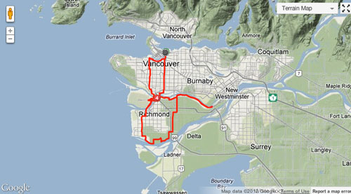
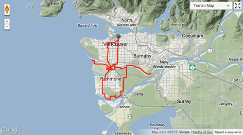
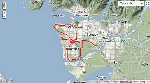
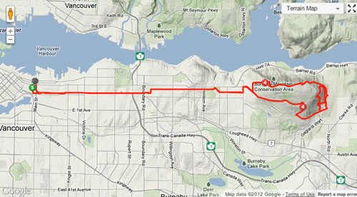
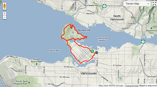
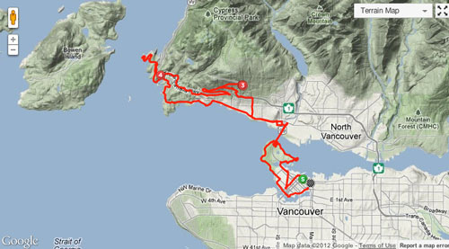
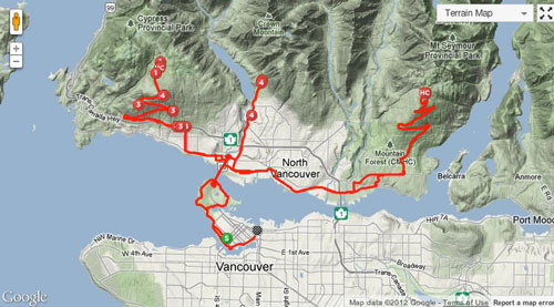
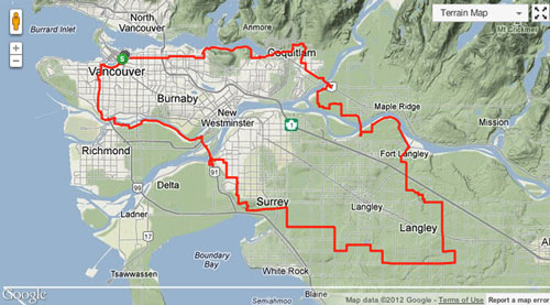
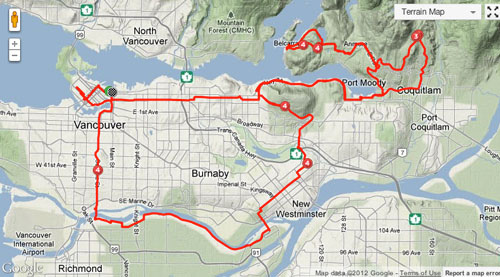
Looking over some of the classic road cycling routes of Vancouver I’m starting to see some patterns and shapes emerge. When I see the GPS tracks for these rides on a map I feel like calling them by their birds-eye views rather than their usual road / area names.
Example:
Rather than say “Let’s take the Cypress bike route out to the Airport, then pop over to River Road and back, add a lap of Richmond, and take the Skytrain Bridge back to Ontario” just say “Let’s do the Little Kitty.”
Before: “Let’s do a lap of Stanley Park, head out on the North Shore taking Marine to Horseshoe and do a Cypress Lookout on the way back”
After: “Let’s do the Exploding Dick.”
Leave a Reply